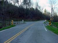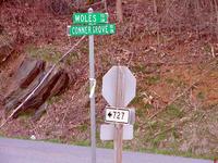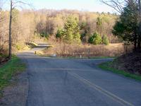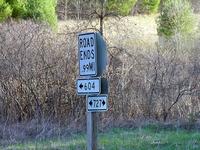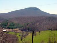
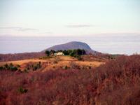
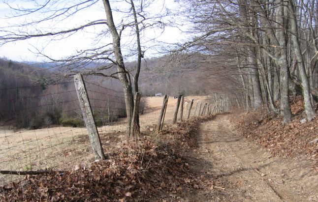
The most dramatic climb comes up the opposite slope of the Buffalo from the parking lot approach. Phillip Weddle showed me this route last summer. The road on the west side of the Buffalo comes from Burkes Fork over to Buffalo Mountain Road near our place. Best approach is 4WD from the north via Burkes Fork, where it crests the shoulder of the Buffalo. A road splits off heading toward the cleft. Here is the approach from the south by foot:
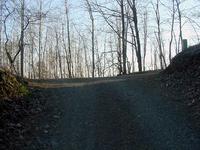
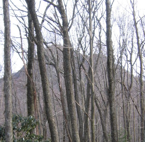
In winter, with the leaves off the trees, you can see the cleft ahead as you climb this road.
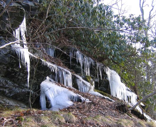
This time of year, the seeps along this face are frozen waterfalls, and ice slick rock faces. Be careful, and use both hands. Cell phones with Verizon work on this slope.
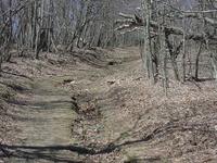
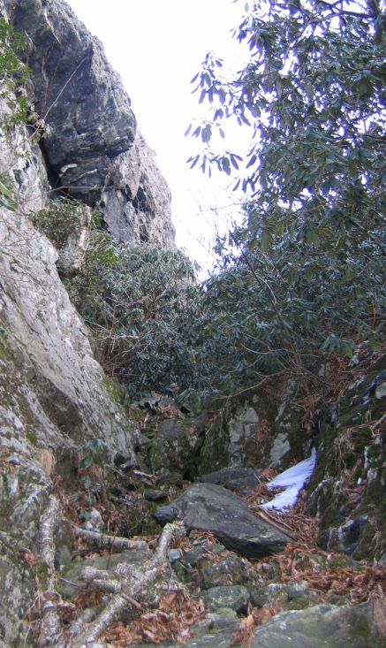
Bear to the left as you climb the shoulder, and you'll have to move into the cleft when the rhododendren starts. This is what you'll see:
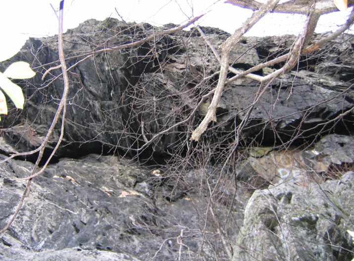
This is the overhanging left cliff with a bit of adornment.
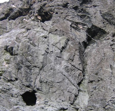
Climbing the right face of the cleft, and looking back at the opposing face, you can see the holes, small caves on that face, which locals call the kettles. Biggest opening is maybe three-four feet across. Phillip tells me there used to be a tree leaning against the cliff, granting access to the lower one, but no more. Anyone ever looked inside?
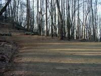
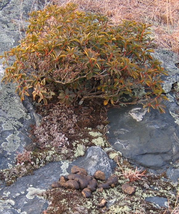
The surprise on reaching the top was this evidence a trail boss had recently ridden brought a string of horses topside. Lots of droppings! Anyone see them?
Finally, taking a look at the parking lot gate on the way down, it now has no cables and dead men. Is this a replacement? Looks old and rusty.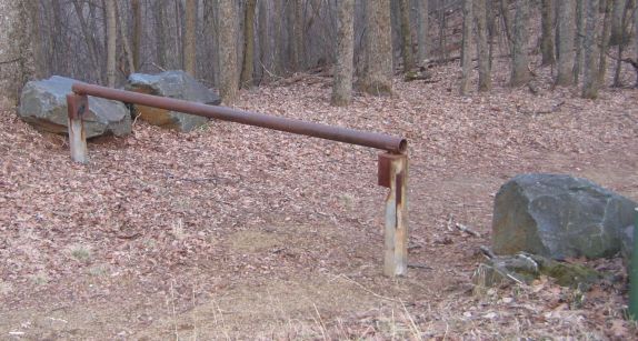
|
|
|
|
|
|
|
|
|
|
|
|
| Sun | Mon | Tue | Wed | Thu | Fri | Sat |
|---|---|---|---|---|---|---|
| 1 | 2 | 3 | 4 | 5 | 6 | 7 |
| 8 | 9 | 10 | 11 | 12 | 13 | 14 |
| 15 | 16 | 17 | 18 | 19 | 20 | 21 |
| 22 | 23 | 24 | 25 | 26 | 27 | 28 |
| 29 | 30 |