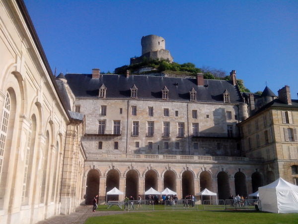
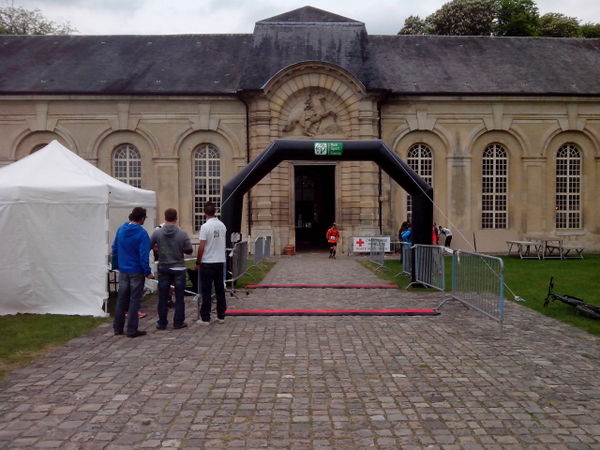
Yesterday I did the “trail du donjon”, a 52 km trail run starting and ending in the small village of La Roche-Guyon which is situated about 50 km northwest of Paris along the Seine. The course starts and ends at the castle overlooking the Seine. Here is a pre-race photo:
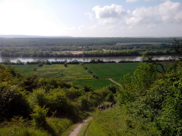
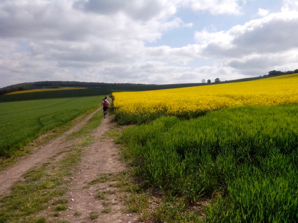
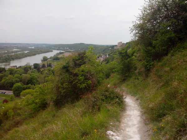
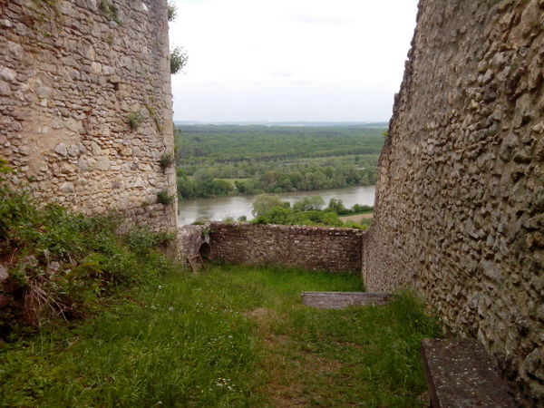
The course took us up and down the bluffs along the Seine giving us some magnificent views. Here is a one:
From the photo you can’t really get a good appreciation for how steep this descent was. Believe me, it was plenty steep and treacherous. Fortunately it was a dry track. I stopped, pulled my telephone out of my backpack and took this pic at km 2.3.
We ran down to the river and then climbed back up the ridge. These next two photos show some of the countryside once we were back on top.
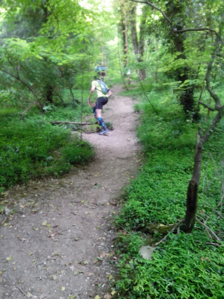
There were only about 250 runners and everyone quickly got spread out along the course. Many parts of the trail were single track, with overhanging bushes, steep climbs and descents.
The trail race had only 2 aide stations, at km 16 and km 36. When I got to the first aide station, they had run out of water. By then I had consumed the two liters in my camelbak so I had to wait a few minutes for the water guy to arrive with water. It would not have been a good idea to attack the next 19 kms sans water.
This was only the 2nd annual running of this race, so I suppose the race organizers were not thoroughly organized.
I mentioned that there were some steep climbs where grabbing onto roots, bushes, branches was necessary to keep moving upward. A rappelling rope was installed at one section to give some much needed assistance. Here is a photo of one of the steep climbs:
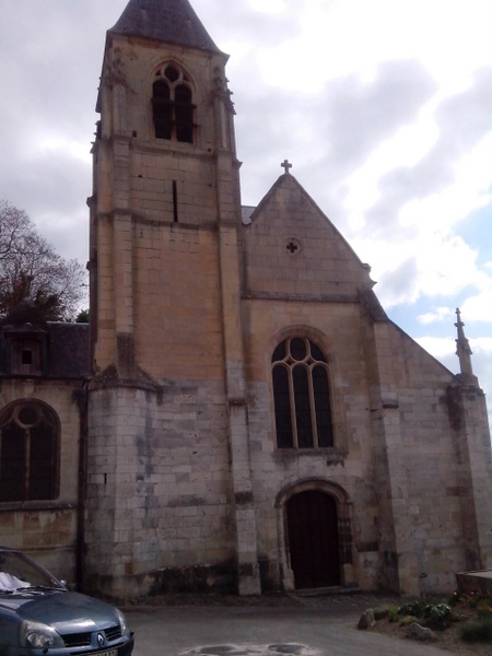
The course took us through some nice villages where I stopped and snapped photos of some churches.
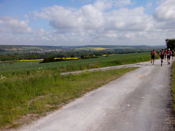
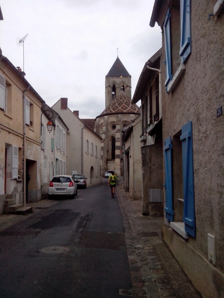
The following photo was from km 45 in Vétheuil. At that point, for the slightest uphill grade, most runners became walkers.
My body held up fairly well. I didn’t fall, twist an ankle, or aggravate my problematic big toe. Starting at km 32 I had some minor cramping in my legs. At the 36 km aide station I ate a banana, an energy bar, topped off the camelbak with another 2 liters and took out my GU Chomp energy chews that I consumed during the next 10 kms.
The last 6 or 7 kms were challenging. The single track trail took us along the bluff with some great views of the valley. For the most part I kept my head down to concentrate on foot placement along the rocky trail.
Here is a photo I took that shows the castle in the distance. Only a few kilometers left!!
The guy who traced out the route gave us a nasty finish, leading us down and then just when we thought we would get to the castle, back up a vicious root-grabbing, scramble at km 50.
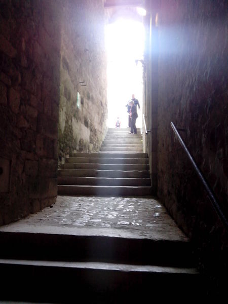
My Garmin ran out of juice at km 52.14 without about 1 km left to go. The finish was unique. The route took us into the castle and up the steps carved out of the cliff up into the castle keep, and then back down a steep trail, passing through the castle again to get to the finish line. Here are the photos starting with the entrance to the castle.

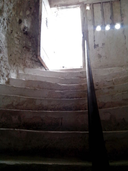
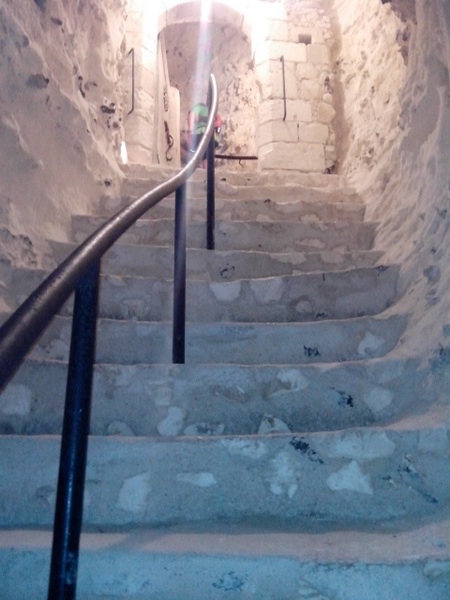
When I got to the top, I turned around to take this photo.
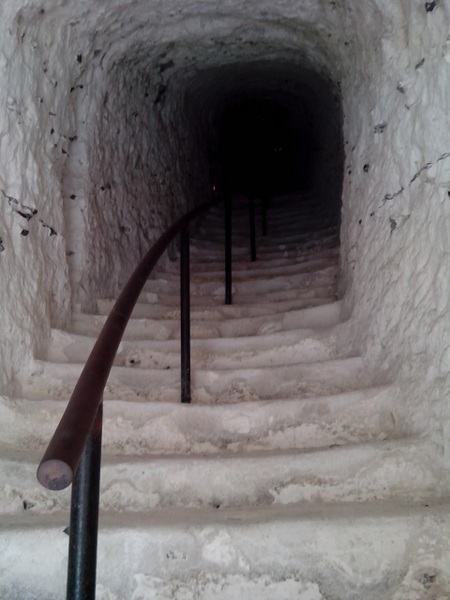
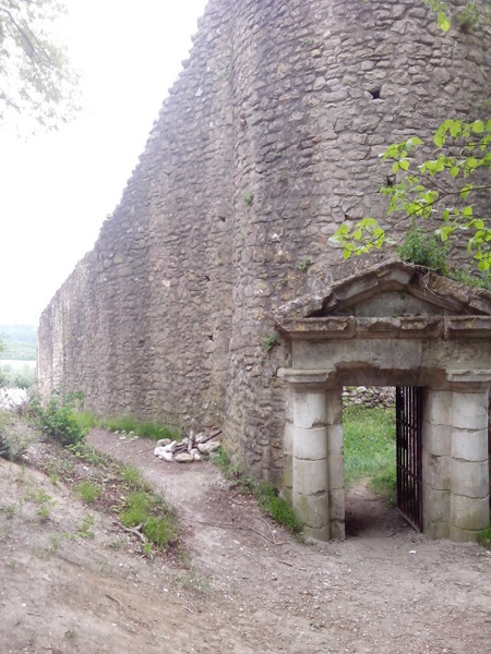
The exiting at the back of the castle.
After crossing the finish line.
I completed the race in about 6 hours 50 minutes.
Here is my Garmin trace: http://connect.garmin.com/player/314427001
I’m waiting for the official results to be published. Did I finish in the money in my age group?